Visual journal
Gallery & field notes
A quieter record of water, terrain, technology, hiking, and photography.
Visual index
Between fieldwork and landscape
Hover to pause. Reduced-motion preferences switch the sequence to manual scrolling.
- Reading landscapes at human scale
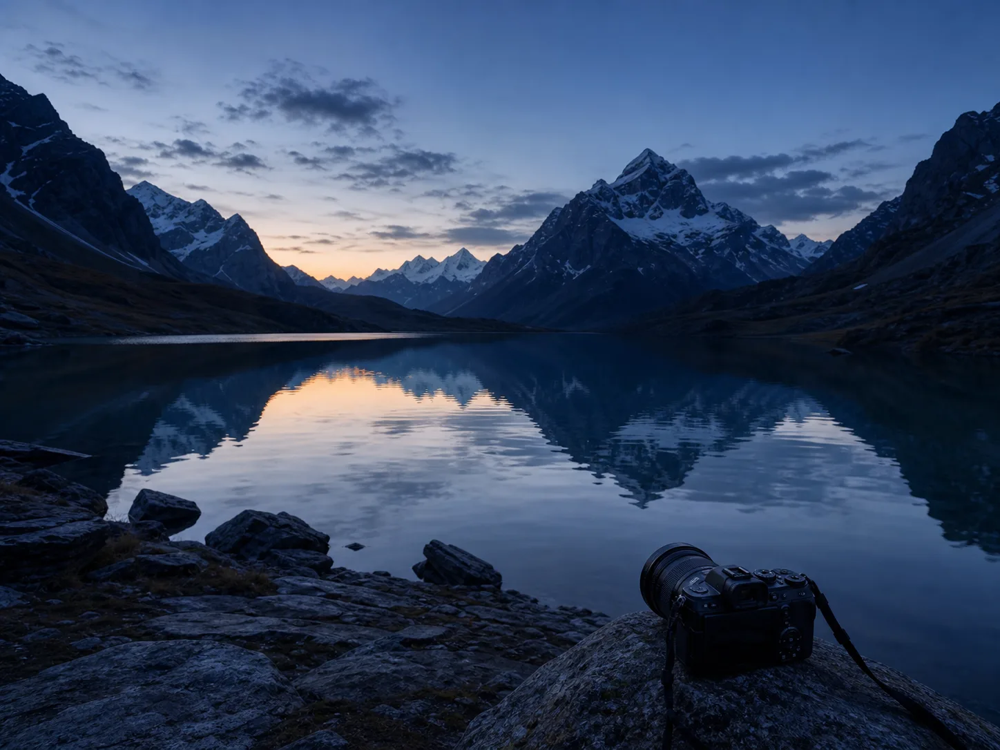 Light, water, terrain, time
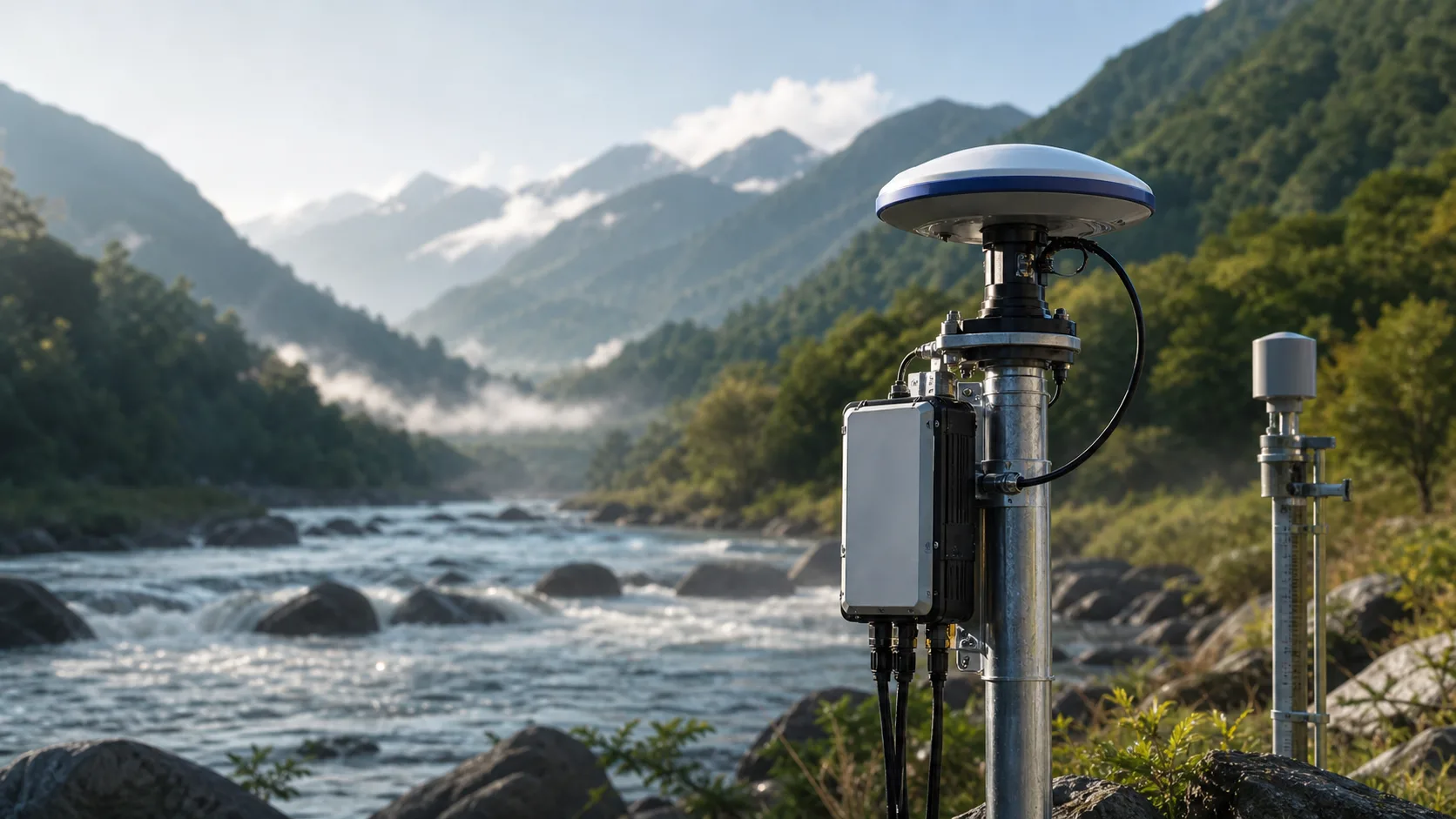 Field intelligence
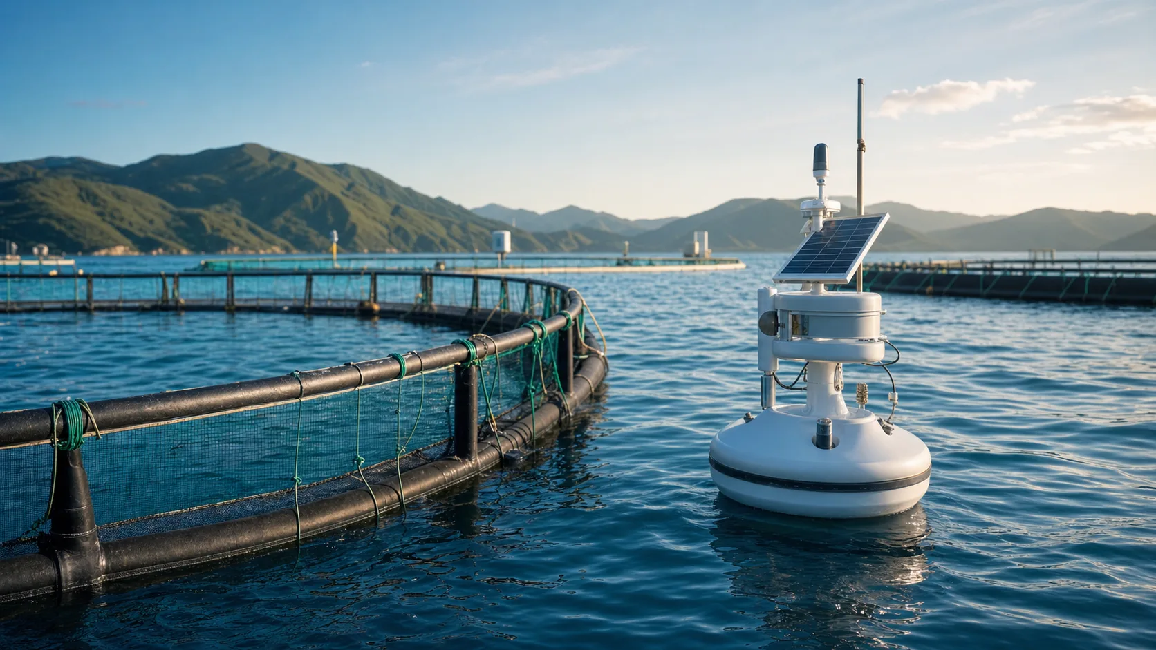 Water systems in operation
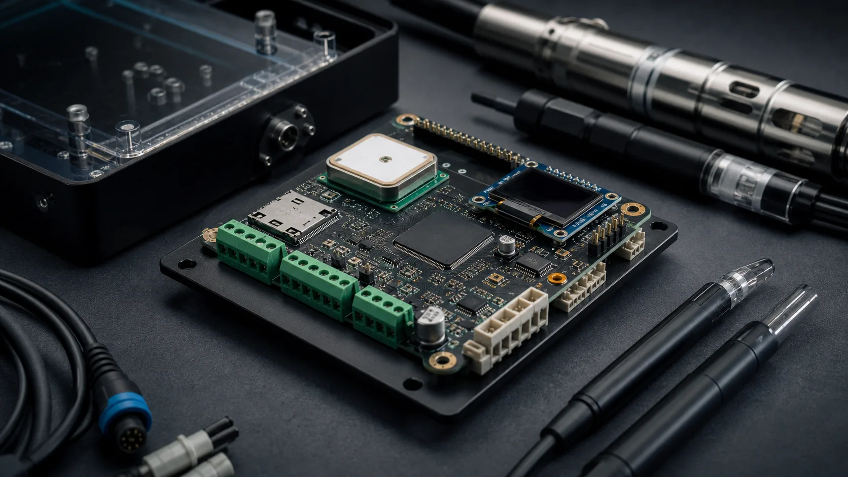 Engineering detail
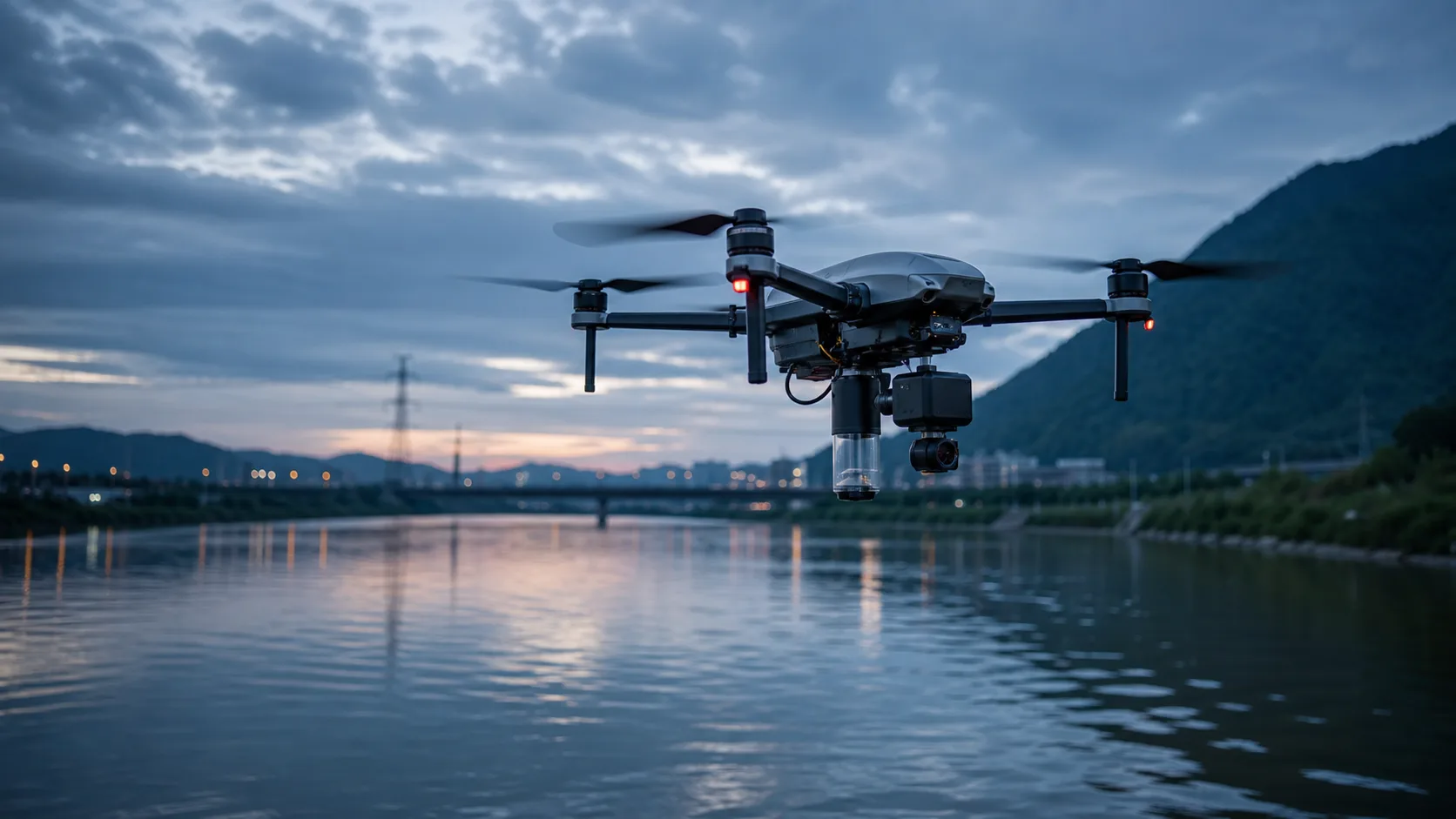 A different observation height
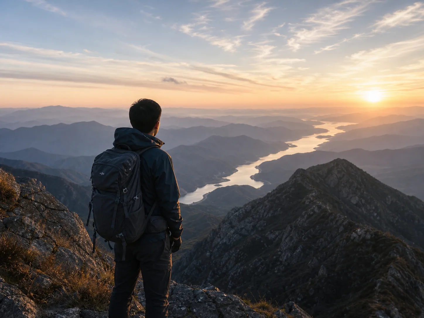
Reading landscapes at human scale
Hiking creates a slower way to observe terrain, drainage, distance, and change.
Light, water, terrain, time
Photography is a practice of noticing structure before explaining it.
Field intelligence
Models become more useful when they remain connected to how observations are collected.
Water systems in operation
Aquaculture environments connect ecological dynamics, sensing infrastructure, and daily decisions.
Engineering detail
Deployable intelligence depends on connectors, timing, calibration, and reliable firmware.
A different observation height
UAV platforms extend environmental observation from fixed points to adaptive spatial coverage.