AI & Time-series Modeling
Deep learning, multivariate forecasting, transfer learning, and interpretable model design.
I am currently pursuing a Ph.D. at Hohai University.
Academic profile at a glance
Interdisciplinary profile
A researcher building intelligent models and deployable systems for complex water environments.
I am a Ph.D. student in Hydrology and Water Resources at Hohai University. My work focuses on AI-driven water quality forecasting, watershed-scale environmental modeling, and intelligent systems for complex water environments.
My background spans computer science, embedded development, UAV control, and hydrological modeling. I build systems that aim to be accurate, transferable, interpretable, and deployable.
Deep learning, multivariate forecasting, transfer learning, and interpretable model design.
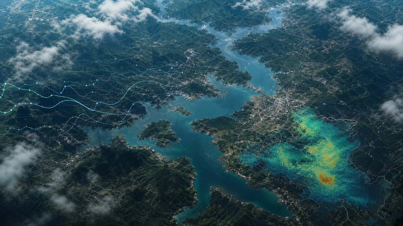
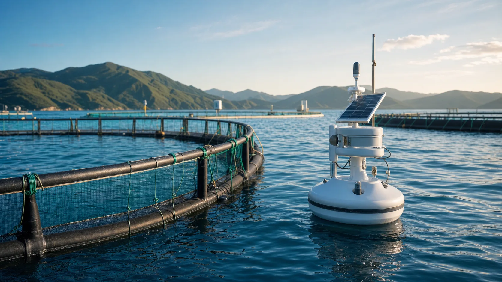
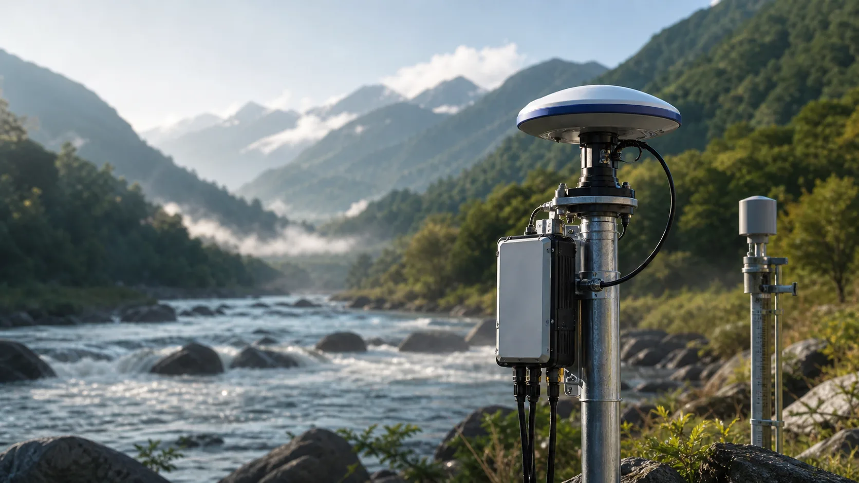
Watershed processes, water quality dynamics, marine ranching, and monitoring networks.
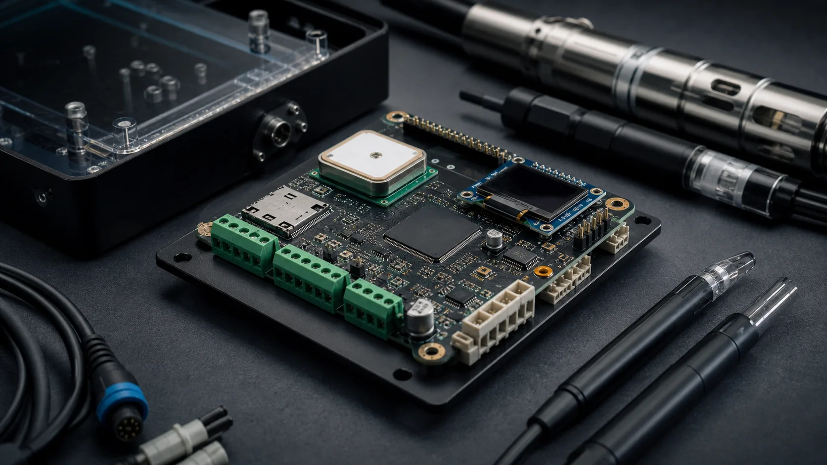
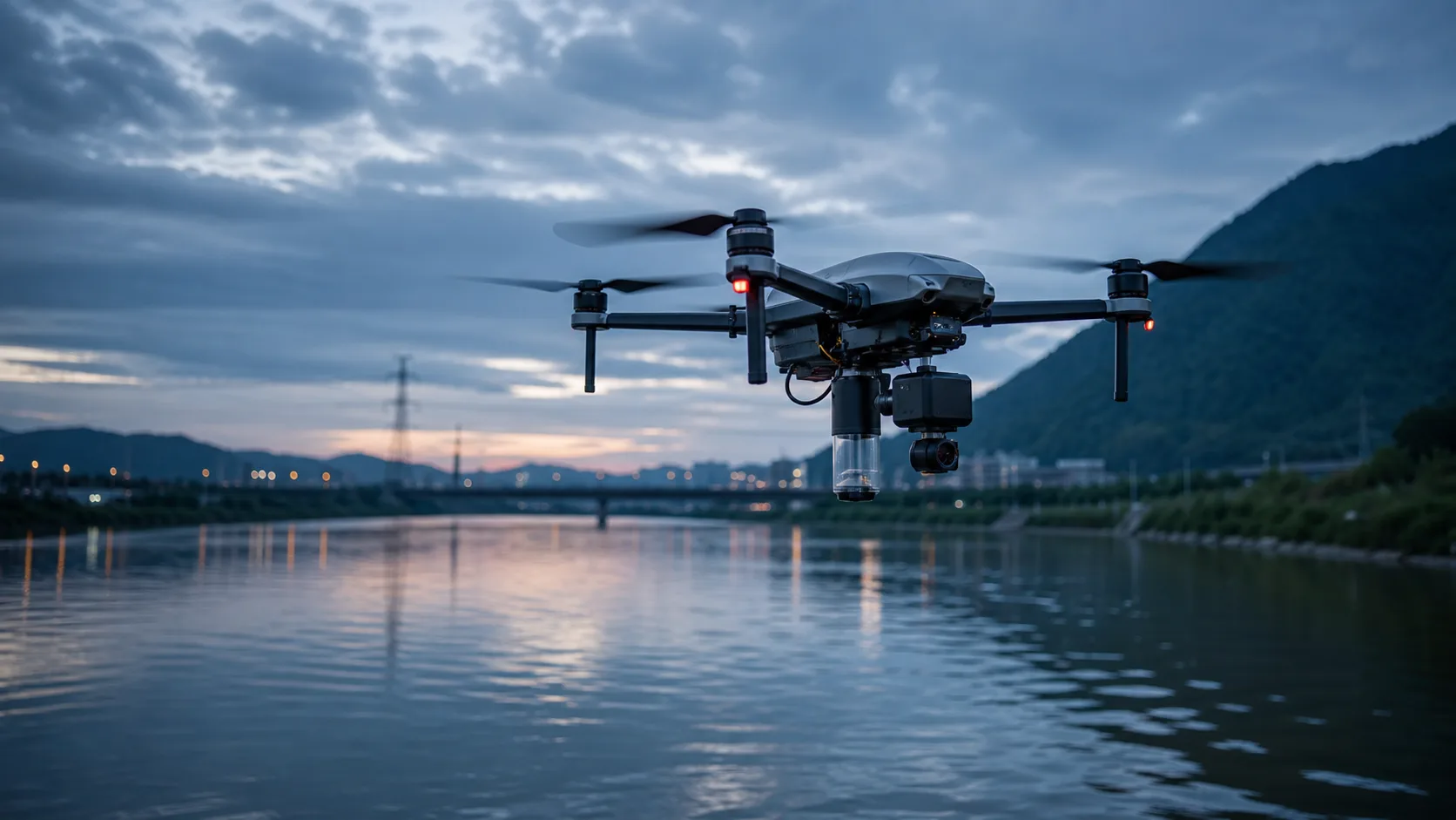
Firmware, sensor fusion, GNSS integration, flight control, and intelligent hardware.
Research interests
The research connects predictive intelligence, environmental process understanding, and systems that can operate beyond the laboratory.
Pillar 01
Transferable, interpretable, and long-term prediction of critical water-quality variables across monitoring regimes.
Pillar 02
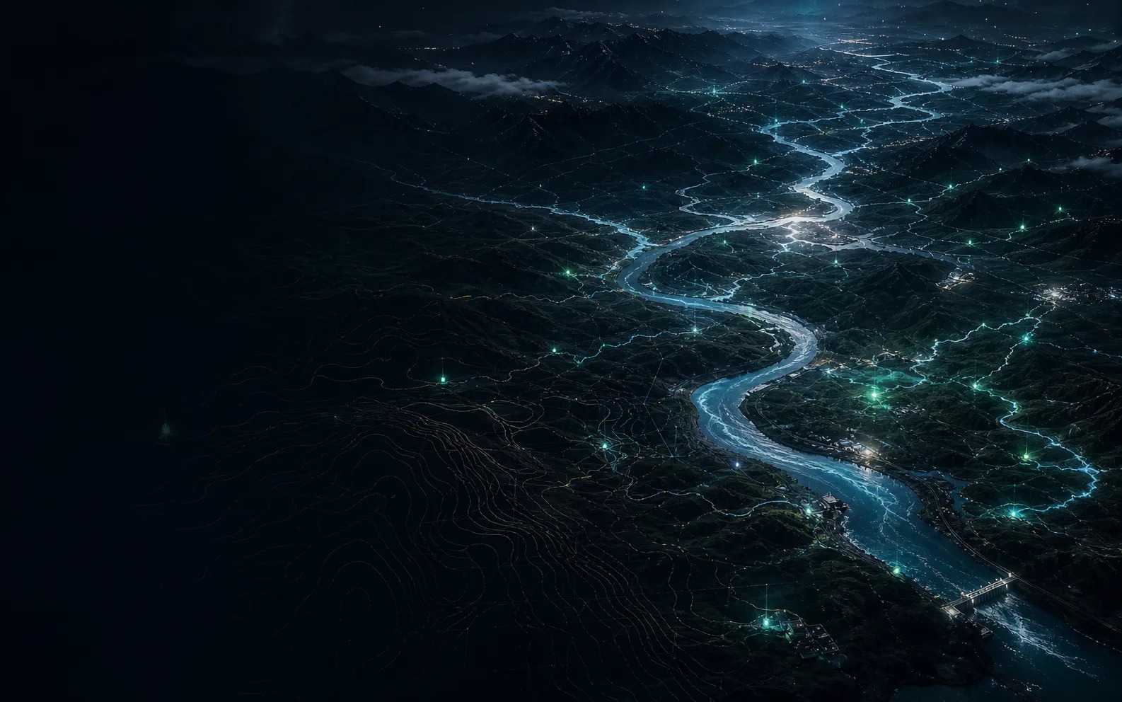
Modeling hydrological and water-quality dynamics across complex basins, marine ranches, and monitoring networks.
Pillar 03
Deployable sensing, GNSS, sensor fusion, and UAV platforms that connect environmental models to field operations.
Selected work
Representative research and engineering work spanning water intelligence, embedded sensing, GNSS, and UAV systems.
Selected project cluster
Hover or focus the stack to reveal three connected research directions.
AI ModelsA transferable long-term forecasting framework combining multiscale decomposition and fuzzy-rule attention across basin regimes.
 Research
Long-horizon prediction for dissolved oxygen and key aquaculture variables using multivariate deep learning.
AI ModelsA multi-variable framework for forecasting several critical water-quality factors over extended horizons.
01 / Current focus
A transferable long-term forecasting framework combining multiscale decomposition and fuzzy-rule attention across basin regimes.
02 / Current focus
Long-horizon prediction for dissolved oxygen and key aquaculture variables using multivariate deep learning.
03 / Completed
A multi-variable framework for forecasting several critical water-quality factors over extended horizons.
04 / Completed
Beidou GNSS integration, automotive-grade SDK engineering, and positioning workflows informed by A-SPICE practice.
05 / Completed
Flight control, attitude estimation, altitude hold, telemetry, and vision-assisted navigation for complex indoor and field environments.
06 / Current focus
Multi-source environmental sensing and predictive services for marine ranching and intelligent aquaculture operations.
Recognition
A compact record of research recognition, authorized patents, and engineering competition outcomes.
Outstanding Student Presentation, 11th Youth Geoscience Forum
ConferenceShandong Provincial Outstanding Graduate
ProvincialSchool-Level Outstanding Student Title
UniversityNational Second Prize, 21st China Graduate Mathematical Modeling Competition, Team Leader
NationalNational Third Prize, 20th China Graduate Mathematical Modeling Competition, Team Leader
NationalA watershed hydrological multivariate forecasting method based on meta-learning TFT architecture
AuthorizedA spatial intelligent watershed hydrological and water quality multivariate forecasting method based on quaternion time-frequency multiscale
AuthorizedA watershed monitoring network layout optimization method based on mutual-information active learning
AuthorizedBeyond research
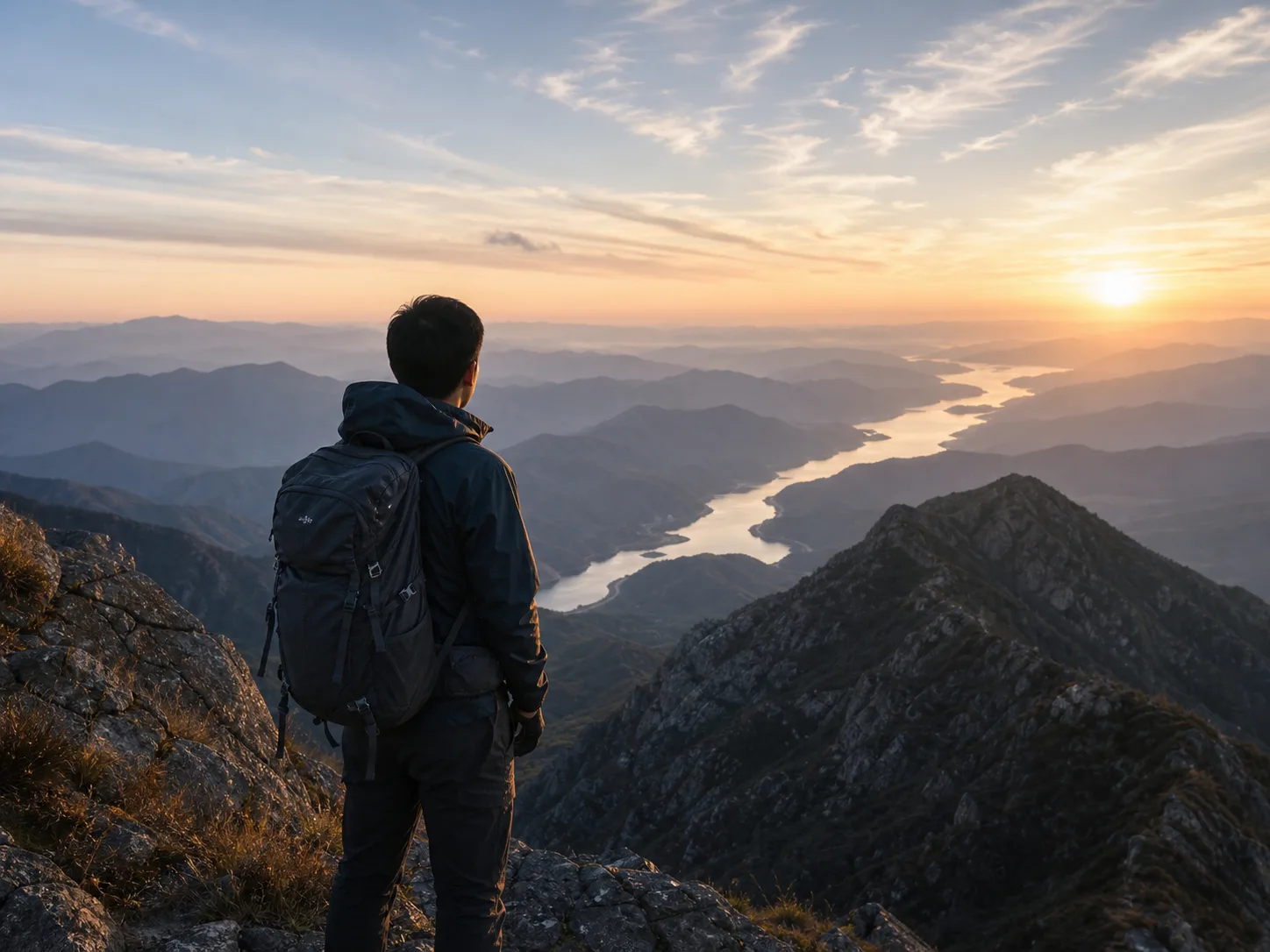
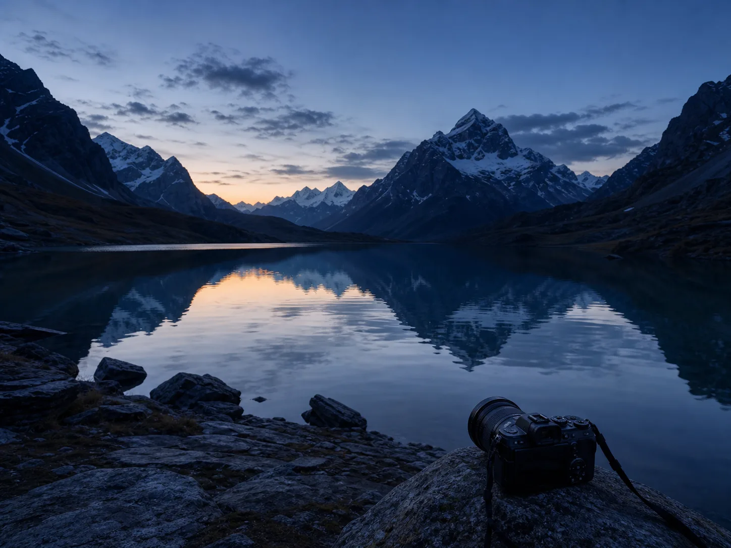
Hiking restores scale and patience. Photography records how light, water, terrain, and time shape the world.
Beyond research
Hiking restores scale and patience. Photography records how light, water, terrain, and time shape the world.
Hiking helps me observe landscapes beyond datasets.
Photography records how light, water, terrain, and time shape the world.
Contact
I am open to academic collaboration, research exchanges, and engineering conversations around AI for water, environmental sensing, and intelligent hardware.